River Water Quality Monitoring Project
I. Project Overview
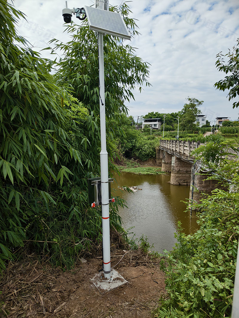
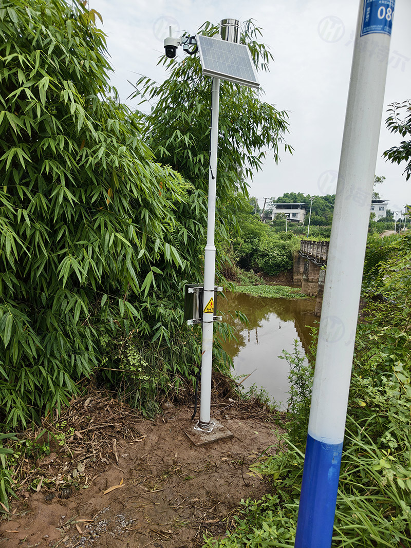
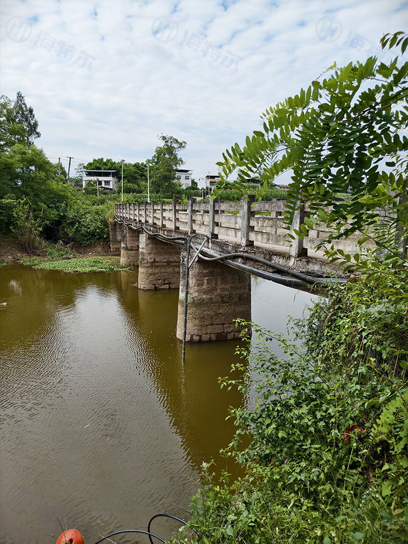
This project establishes an integrated online water quality and hydrological monitoring station along the river to conduct unattended, round-the-clock monitoring at key control sections. It simultaneously collects two core categories of data—water quality and hydrological parameters—to provide real-time insight into river water quality status, pollution dynamics, and hydrological changes. The system enables automatic alerts for abnormal water quality and sudden changes in rainfall or flow conditions, delivering accurate and continuous data support for river ecological management, pollution source tracing, water environment governance, flood prevention and disaster reduction, and refined water resource management.
II. Monitoring Site Layout
Monitoring stations are strategically located at representative and hydrologically stable sections, including mainstream control sections, tributary confluences, downstream outlets of sewage discharges, ecologically sensitive river reaches, and key flood-control sections. These sites are selected to ensure strong representativeness and stable operating conditions, truthfully reflecting the overall water quality and hydrodynamic variations of the river under jurisdiction.
III. Key Monitoring Parameters and Their Functions
(A) Water Quality Monitoring Parameters
pH, Water Temperature, Electrical Conductivity – These are fundamental physicochemical indicators of water quality, used to determine the acid-base environment, temperature fluctuations, and abnormal ion concentrations. They enable rapid identification of external wastewater intrusion and aquatic environmental imbalances, thereby safeguarding the stability of the aquatic ecosystem.
Dissolved Oxygen (DO) and Turbidity – These parameters directly reflect the ecological health and clarity of the river. DO is a core indicator for assessing the river's self-purification capacity and identifying black-odor water bodies. Turbidity enables real-time monitoring of sediment accumulation, soil erosion, and non-point source pollution disturbances.
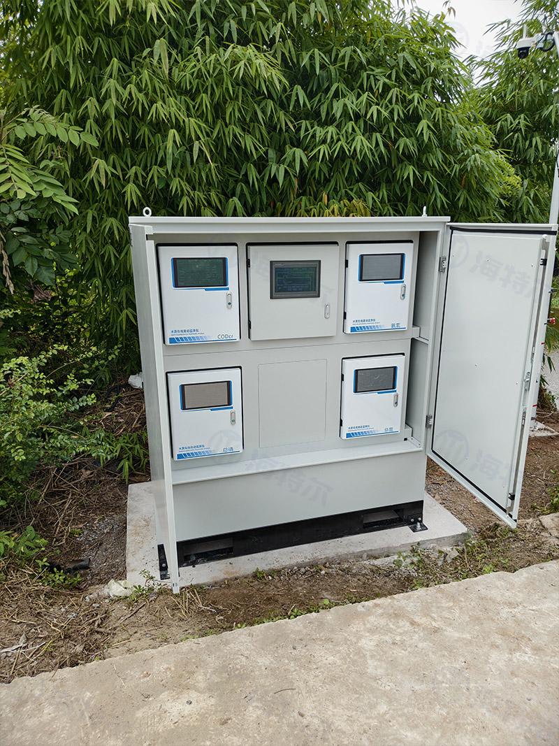
COD, Ammonia Nitrogen (NH₃-N), Total Phosphorus (TP), and Total Nitrogen (TN) – These are the key assessment indicators for river water quality compliance. COD reflects the degree of organic pollution in water, while ammonia nitrogen, total phosphorus, and total nitrogen are primary causes of eutrophication and algal blooms. Monitoring these parameters enables precise control of pollution inputs from domestic sewage, agricultural non-point sources, and aquaculture tailwater, supporting water quality standard compliance and pollution treatment efforts.
(B) Hydrological Monitoring Parameters
Flow Velocity – Monitors the flow state of the river water body, providing insight into hydrodynamic conditions. This parameter assists in analyzing pollutant dispersion patterns and water exchange capacity, offering data support for river regulation and water quality simulation.
Rainfall – Provides real-time monitoring of regional precipitation. It enables correlation analysis between rainfall events and water quality fluctuations, effectively distinguishing between point-source and non-point-source pollution. This parameter also supports water environment prevention and flood control efforts during the flood season.
IV. Advantages and Functions
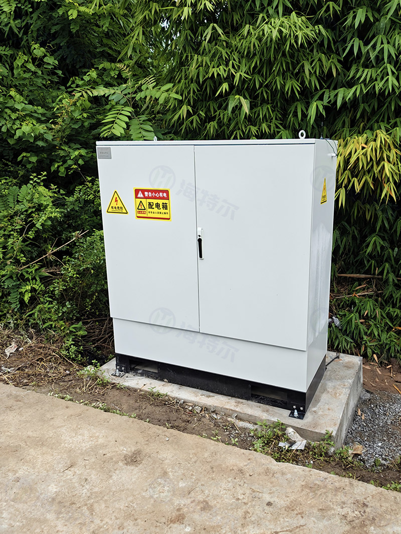
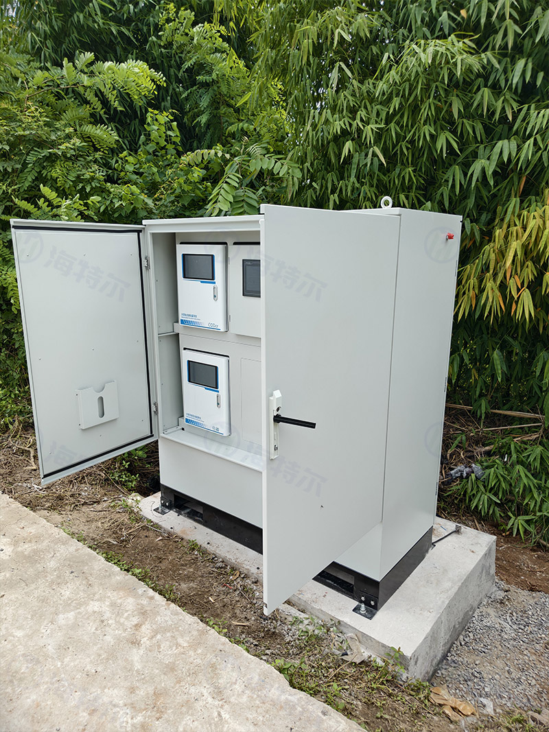
The system features an integrated outdoor design, adapted to the complex field conditions along rivers. It is equipped with automatic sampling, automatic cleaning, all-weather continuous monitoring, automatic data storage and uploading, and intelligent alerting for exceedances. The system operates without manual attendance and ensures long-term stable performance, effectively reducing operation and maintenance costs while enabling real-time monitoring, accurate early warning, and science-based control of the river water environment and hydrological conditions.
This project enables routine assessment of river water quality compliance, precise identification of pollution hazards, and enhanced refinement in river ecological management. Simultaneously, it addresses flood-season hydrological monitoring needs, effectively mitigating both water environment risks and flood-related risks. Ultimately, it provides reliable data assurance for long-term river management, ecological restoration, and environmental compliance control.





 Network Security Record No. 37021402001393 (Shandong)